
Anúncios
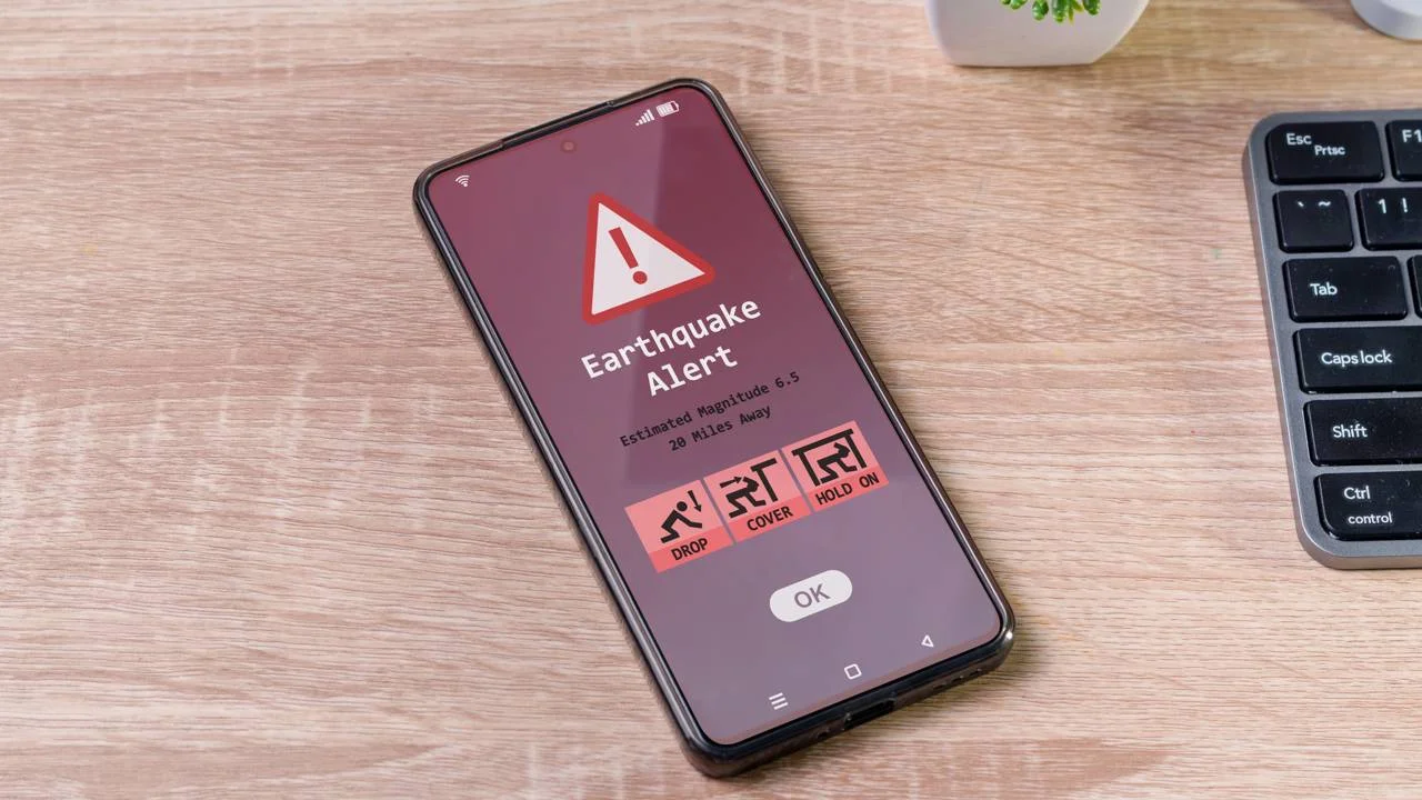
When the ground shakes beneath your feet, every second counts. Earthquake alert apps have become essential tools for millions of people living in seismically active regions around the world.
These mobile applications leverage cutting-edge technology to detect seismic activity and send instant notifications to users, providing precious moments to take cover or evacuate. The technology has evolved dramatically over the past decade, transforming smartphones into personal early warning systems.
From coastal California to the mountains of Japan, earthquake detection apps are saving lives by bridging the gap between seismological monitoring stations and everyday citizens. Understanding how these apps work and which features matter most can make the difference when disaster strikes.
🌍 How Earthquake Alert Applications Actually Work
Earthquake alert apps rely on a sophisticated network of seismometers strategically placed around the globe. These instruments detect the initial P-waves (primary waves) that travel faster than the destructive S-waves (secondary waves) that cause most earthquake damage.


When seismic sensors detect unusual ground movement, the data gets transmitted to central processing systems. Advanced algorithms analyze the information within milliseconds, calculating the earthquake’s magnitude, epicenter location, and projected impact radius.
The notification process happens in three key stages:
- Detection sensors identify P-wave activity and measure intensity
- Processing centers verify the data and calculate threat levels
- Alert systems push notifications to devices in affected areas
- Users receive warnings seconds to minutes before major shaking arrives
Modern apps integrate data from multiple sources, including the USGS (United States Geological Survey), EMSC (European-Mediterranean Seismological Centre), and regional monitoring networks. This redundancy ensures accuracy and reduces false alarms.
The warning time varies based on your distance from the epicenter. Someone 100 kilometers away might receive 30-60 seconds of advance notice, while those closer to the source may only get 5-10 seconds. Even brief warnings prove invaluable for protective actions.
📡 Real-Time Data Integration and Crowdsourcing
Many earthquake apps now incorporate crowdsourced data from user reports. When thousands of people in the same area report feeling tremors simultaneously, the app’s algorithms can confirm seismic events and fill gaps where official sensors might be sparse.
This hybrid approach combines professional seismological equipment with community input. Apps like MyShake use smartphone accelerometers to detect ground motion, essentially turning every device into a miniature seismometer that contributes to a global monitoring network.
🔔 Essential Features to Look for in Earthquake Apps
Not all earthquake alert applications offer the same capabilities. The most effective apps combine several critical features that maximize safety and situational awareness during seismic events.
Push notifications and alert customization rank among the most important features. You should be able to set magnitude thresholds (for example, only receive alerts for earthquakes above 4.0) and customize alert zones based on your location and travel patterns.
| Feature | Why It Matters | Priority Level |
|---|---|---|
| Real-time alerts | Provides crucial seconds to take cover | Critical |
| Magnitude filtering | Prevents alert fatigue from minor tremors | High |
| Offline functionality | Works even when networks are overloaded | High |
| Historical data | Helps understand regional seismic patterns | Medium |
| Safety tips | Guides proper response during earthquakes | Medium |
Battery optimization is another crucial consideration. Alert apps need to run background processes continuously, which can drain power. The best applications balance constant monitoring with efficient resource management.

🗺️ Interactive Maps and Visualization Tools
Visual representation of earthquake data helps users understand their risk context. Quality apps display recent earthquakes on interactive maps with color-coded markers indicating magnitude levels. Some advanced applications show historical seismic activity patterns, fault line locations, and projected shake intensity zones.
The ability to zoom in on specific regions and tap individual earthquake markers for detailed information transforms raw data into actionable intelligence. Users can identify whether tremors are part of an ongoing sequence or isolated events.
👨👩👧👦 Family Location Tracking and Emergency Features
Several earthquake apps now include family safety features that show loved ones’ locations during seismic events. Quick-check buttons allow family members to signal their safety status without clogging phone networks with calls.
Emergency contact integration lets you store important numbers and access them instantly. Some apps provide one-tap communication to emergency services and include built-in flashlight functionality for post-earthquake situations when power fails.
⚡ The Science Behind Early Warning Systems
Early earthquake warning systems represent one of the most significant advances in disaster preparedness technology. Unlike tornado or hurricane warnings that can predict events hours or days in advance, earthquake alerts work within an incredibly compressed timeframe.
The science relies on the different speeds at which seismic waves travel. P-waves move at approximately 6-7 kilometers per second through the Earth’s crust, while the more destructive S-waves travel at about 3.5-4 kilometers per second. This speed difference creates a warning window.
Seismologists use complex calculations to determine:
- Precise epicenter coordinates using triangulation from multiple sensors
- Depth of the earthquake’s hypocenter below the surface
- Magnitude estimation based on wave amplitude and frequency
- Projected ground shaking intensity at various distances
- Estimated arrival times of destructive waves at different locations
The ShakeAlert system in the western United States demonstrates this technology’s potential. With sensors scattered across California, Oregon, and Washington, the network can detect significant earthquakes and deliver warnings to millions of people through their smartphones within seconds.
🔬 Machine Learning and Prediction Improvements
Artificial intelligence is revolutionizing earthquake detection and warning systems. Machine learning algorithms can identify seismic patterns that human analysts might miss, distinguishing actual earthquakes from background noise like traffic, construction, or ocean waves.
These AI systems continuously improve through exposure to more data. Google’s earthquake detection system, built into Android devices, analyzes accelerometer data from millions of phones to detect earthquakes and estimate their characteristics more quickly than traditional methods alone.
🏙️ Regional Variations in Earthquake Alert Systems
Different countries and regions have developed unique approaches to earthquake early warning based on their specific seismic risks, technological infrastructure, and resources. Understanding these variations helps users choose the most appropriate app for their location.
Japan’s J-Alert system represents the gold standard in earthquake early warning. After decades of development and billions in investment, Japan can deliver warnings through television, radio, smartphones, and dedicated receivers. The system has issued accurate warnings for major earthquakes, including the devastating 2011 Tohoku event.
Mexico’s SASMEX system protects Mexico City despite being located hundreds of kilometers from major subduction zones along the coast. Sensors near earthquake-prone areas provide the capital with critical warning time before seismic waves arrive.
The United States implemented ShakeAlert across the West Coast, covering an area home to more than 50 million people. The system integrates with smartphone operating systems and dedicated apps to deliver warnings directly to mobile devices.
🌐 International Coordination and Data Sharing
Global seismic monitoring requires international cooperation. Organizations like the USGS, EMSC, and various national geological surveys share earthquake data in real-time, enabling apps to provide worldwide coverage.
This collaboration ensures that travelers receive alerts regardless of their location. Someone from California visiting Indonesia will still receive earthquake warnings through their app, drawing from local monitoring networks.
📱 Choosing the Right Earthquake App for Your Needs
Selecting an earthquake alert application depends on several personal factors, including your location, risk tolerance, and desired features. Residents of high-risk zones like California, Japan, or Chile need different capabilities than occasional visitors to these regions.
For people living directly on fault lines, apps with the fastest alert times and most reliable data sources prove essential. These users should prioritize applications connected to official government warning systems rather than relying solely on crowdsourced data.
Consider these factors when evaluating apps:
- Data source credibility and update frequency
- User interface clarity during high-stress moments
- Customization options for alert preferences
- Battery consumption and performance impact
- Privacy policies and data collection practices
- Offline functionality and reliability
- Educational resources and preparedness information
Read recent user reviews to gauge real-world performance. Pay special attention to comments about false alarms, notification delays, and battery drain. Apps with millions of downloads and regular updates typically offer more reliable service.
💰 Free vs. Premium Earthquake Applications
Most earthquake alert apps offer free versions with core functionality, while premium subscriptions unlock additional features. Free versions typically provide basic alerts and maps, which suffice for most users’ needs.
Premium features might include extended historical data, advanced visualization tools, ad removal, and priority notifications. Evaluate whether these extras justify the subscription cost based on your specific situation and how frequently you reference the app.
🎯 Maximizing Safety with Earthquake Alert Technology
Installing an earthquake app represents just the first step. Maximizing its safety benefits requires proper configuration, regular testing, and integration into a comprehensive emergency preparedness plan.
Configure your notification settings thoughtfully. Set the magnitude threshold high enough to avoid constant minor tremor alerts but low enough to receive warnings about potentially dangerous earthquakes. Most experts recommend setting alerts for magnitude 4.0 or higher in seismically active regions.
Enable all notification permissions and ensure the app can override silent mode. During an earthquake emergency, you need alerts to break through regardless of your phone’s current settings. Test these notifications periodically to verify they work correctly.
Develop an action plan based on alert timing:
- For 30+ seconds warning: move away from windows, secure heavy objects, position yourself under sturdy furniture
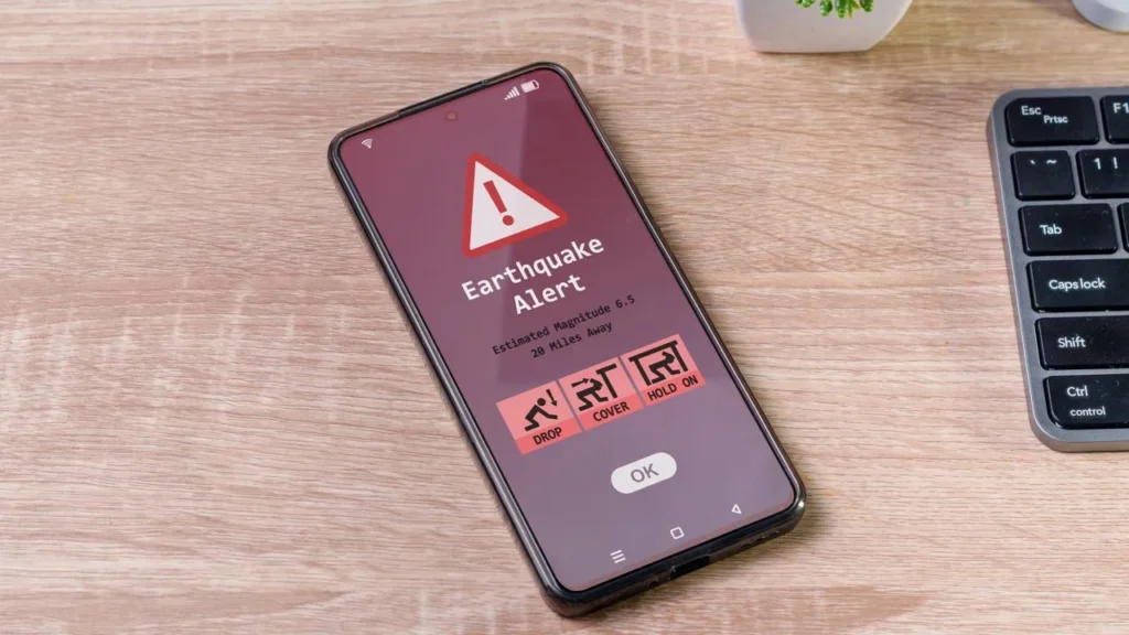
- For 10-30 seconds: drop, cover, and hold on immediately
- For under 10 seconds: drop and cover wherever you are without trying to move
- After shaking stops: check for injuries, damage, and evacuate if necessary
Practice earthquake drills with your family so everyone knows how to respond when alerts sound. Muscle memory developed through practice proves invaluable when actual earthquakes occur and stress levels spike.
🔋 Maintaining App Readiness and Device Preparedness
Earthquake apps only help if your phone has power and connectivity. Keep your device charged, especially during periods of increased seismic activity when aftershocks are likely. Consider investing in portable battery packs and solar chargers for extended emergencies.
Enable automatic app updates to ensure you have the latest improvements and bug fixes. Developers regularly enhance alert algorithms and expand sensor networks, so staying current maximizes your app’s effectiveness.
🔮 The Future of Earthquake Detection Technology
Earthquake early warning technology continues advancing rapidly. Researchers are developing systems that could eventually provide minutes rather than seconds of warning time, though predicting earthquakes hours or days in advance remains scientifically impossible with current knowledge.
Satellite-based monitoring systems are being deployed to detect ground deformation that might indicate increasing seismic stress. Combined with traditional seismometers and smartphone-based detection networks, these multi-layered systems will provide unprecedented monitoring coverage.
Integration with smart home systems represents another frontier. Imagine earthquake alerts automatically triggering protective actions like shutting off gas lines, opening garage doors for evacuation routes, and unlocking doors to prevent people from being trapped.
Augmented reality features may soon guide users to the safest locations within buildings during earthquakes. AR overlays could highlight structural strong points, exit routes, and hazards in real-time as events unfold.
The democratization of earthquake monitoring through smartphone technology means that even regions without extensive professional seismometer networks can now benefit from early warning capabilities. As more people install these apps, the crowdsourced data networks become increasingly accurate and valuable.
🛡️ Building Earthquake Resilience Beyond Apps
While earthquake alert apps provide crucial early warnings, they work best as part of a comprehensive preparedness strategy. Technology complements but cannot replace fundamental safety measures like securing furniture, maintaining emergency supplies, and knowing your building’s structural integrity.
Create an emergency kit with water, food, first aid supplies, flashlights, and battery-powered radios. Store important documents in waterproof containers and keep copies in cloud storage accessible from any device.
Learn about your area’s specific earthquake risks. Different regions face different hazards beyond ground shaking, including tsunamis, landslides, and liquefaction. Understanding these dangers helps you prepare appropriately and respond effectively when alerts sound.
Participate in community preparedness programs and stay informed about local emergency response plans. Know where community shelters are located and how to access emergency services if traditional communication networks fail.
The combination of technological tools like earthquake alert apps and traditional preparedness measures creates the most robust safety framework. Technology provides the early warning, but your preparation and knowledge determine how effectively you can use that precious time to protect yourself and your loved ones.
Earthquake alert applications have transformed personal safety in seismically active regions. By understanding how these tools work, choosing the right app for your needs, and integrating alerts into a comprehensive preparedness plan, you can significantly reduce your earthquake risk and respond more effectively when the ground starts shaking.
